


SledNH 2026 is a premier trail navigation app tailored for snowmobiling enthusiasts exploring New Hampshire's extensive 7,000-mile trail network. Designed to function seamlessly both online and offline, the app provides users with reliable access to up-to-date trail maps, points of interest, and essential services even in remote areas without cellular coverage. Whether you're planning your next adventure or navigating on the go, SledNH ensures you stay informed about trail conditions, nearby amenities, and distances to key locations.
With its intuitive GPS functionality, users can track their real-time location, save preferred routes, and share positions with friends when connected. The app also supports advanced features like trip planning and live trail status updates during online use, making it an indispensable tool for maximizing your snowmobiling experience while ensuring safety and convenience throughout your journey.
SledNH 2026 stands out with its robust set of features designed to enhance every aspect of your snowmobiling adventures. One of its core strengths is its offline capability, allowing users to view their current location via GPS, explore nearby facilities such as clubhouses and gas stations, and retrieve cached trail condition data from their last internet connection. This ensures uninterrupted access to critical information regardless of cell service availability.
For those with connectivity, the app offers enhanced online functionalities including real-time trail status updates, private position sharing with friends, and comprehensive trip planning tools. These features not only streamline coordination among groups but also enable users to create detailed itineraries that can be easily shared. Additionally, the app prioritizes battery efficiency by recommending users toggle off GPS and location sharing when not actively in use, striking a balance between performance and practicality.
Map accuracy is crucial for any navigation app, and SledNH 2026 excels in this area. The application provides users with access to the New Hampshire Snowmobile Association's comprehensive trail map, covering an impressive 7,000 miles of trails.
The app works seamlessly both with and without mobile data coverage, ensuring that users can rely on its navigation functions regardless of their location on the trails. This offline capability guarantees that snowmobilers can always see their precise location on the map through their phone's GPS signal.
Additionally, SledNH offers real-time information on nearby amenities such as clubhouses, snack shacks, parking areas, scenic vistas, gas stations, and services. This ensures that users have all the necessary information at their fingertips, enhancing their overall experience while exploring New Hampshire's vast network of snowmobile trails.
Effective route planning is essential for a seamless snowmobiling experience, and SledNH 2026 delivers exceptional functionality in this regard. When connected to cell or Wi-Fi, users can take advantage of additional online features that enhance trip planning.
The app allows users to keep track of updated trail statuses, ensuring they are aware of the best routes for optimal riding conditions. This feature helps riders avoid any unexpected obstacles or closures, making their journey smoother and more enjoyable.
Moreover, SledNH facilitates easy coordination with friends by enabling private position sharing. Users can also plan complete trips within the app and effortlessly share these plans with others, streamlining group outings and ensuring everyone stays informed and connected throughout their adventure.
User-friendly interface
Offline map access
Real-time GPS tracking
Comprehensive POI database
Private position sharing
Seasonal subscription required
Battery consumption concerns
Limited offline updates
No automatic route suggestions
Premium feature lock-in

Offline maps & GPS for hiking, travel, fieldwork & outdoor adventures
 4.70
4.70
GPX Viewer PRO shows tracks, routes and waypoints from gpx and kml files.
4.60
Navigate with your watch and keep the phone in your pocket!
4.60
GPS Speedometer & Odometer: Track car, bike, truck speed & distance in real-time
4.70
Truck Safe GPS Navigation & Maps: Parking, Fuel, Diesel, Weight Station
4.80
Live Satellite view app for find GPS navigation Direction and live location map
3.70
Simple & easy to use a compass app. Get accurate directions.
4.20
Get there with the Waymo Driver — The World’s Most Experienced Driver™
4.90
Navigate MTA, NJ Transit, MBTA, SEPTA, BART, MARTA, CTA & 900+ cities
4.60
This app is military GPS coordinate systems helper. (MGRS, UTM & DMS Maps)
4.80
GPS phone tracker, family locator, secure location sharing app
4.20
Number locator, real connection map
4.10
Easy, Moderate and difficult offroad adventures.
4.00
OpenCPN is a full featured ChartPlotter and Navigator for Android.
3.60
Navigate via GPS Maps of GPS Voice Navigation, driving directions to find routes
3.60
Explore Earth with live GPS, satellite view & street navigation
3.60
Explore offline maps with radar, satellite view, and real-time alerts.
3.60
Off-Roading Navigation App With Trails, Public Lands, & Private Property Info
3.30
Fully offline 1:50k New Zealand topographical map North Island
4.4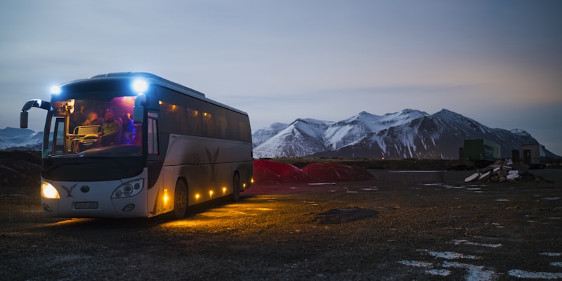
Complete Lyft review—pricing comparison, driver quality, safety features, rewards program, and how it stacks up against Uber and competitors.


User Reviews