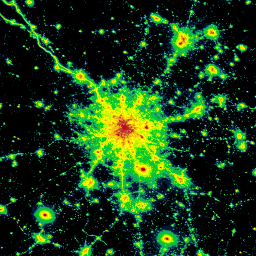
Explore a light pollution map to find suitable dark sky locations for observing.
 4.30
4.30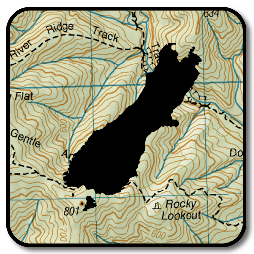
Complete offline 1:50k South Island topo map including DOC Hunting Permit Areas
4.60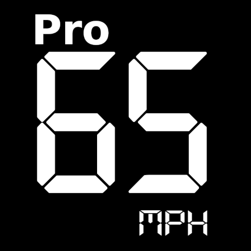
Route tracker, Speedometer, Odometer, Fuel, HUD mode, save route as .GPX
4.40
Airport parking, with airport shuttle (TPS shuttle), reservations, and Spot Club
4.80
Find radar maps, GPS coordinates, altitude, offline maps, location, travel route
4.40
Explore Live Earth Map with 3D World Map & locate cites, mountains real time.
3.80
Get route, find shortest path, near by places and weather update
3.90
Use GPS Maps and GPS Voice Navigation to find your way and get directions
4.10
GPS phone tracker, family locator, secure location sharing app
4.20
Offline maps & GPS for hiking, travel, fieldwork & outdoor adventures
4.70
Navigate MTA, NJ Transit, MBTA, SEPTA, BART, MARTA, CTA & 900+ cities
4.60
America’s largest public fast charging network, with over 500 charging stations.
4.50
Number locator, real connection map
4.10
TACNAV-X: Precision MGRS navigation, built specifically for the military.
4.00
GPS Navigation: Get map directions and find the shortest routes to avoid delays!
4.00
Drive safe with real-time speed camera radar, police, and traffic alerts
3.80
OpenCPN is a full featured ChartPlotter and Navigator for Android.
3.60
Offline maps for phone and smart watch: topographic maps, satellite images...
3.30
Compass is an accurate compass and a great tool for any outdoor activities
4.1